How Satellite-Based Tools Are Transforming Conservation
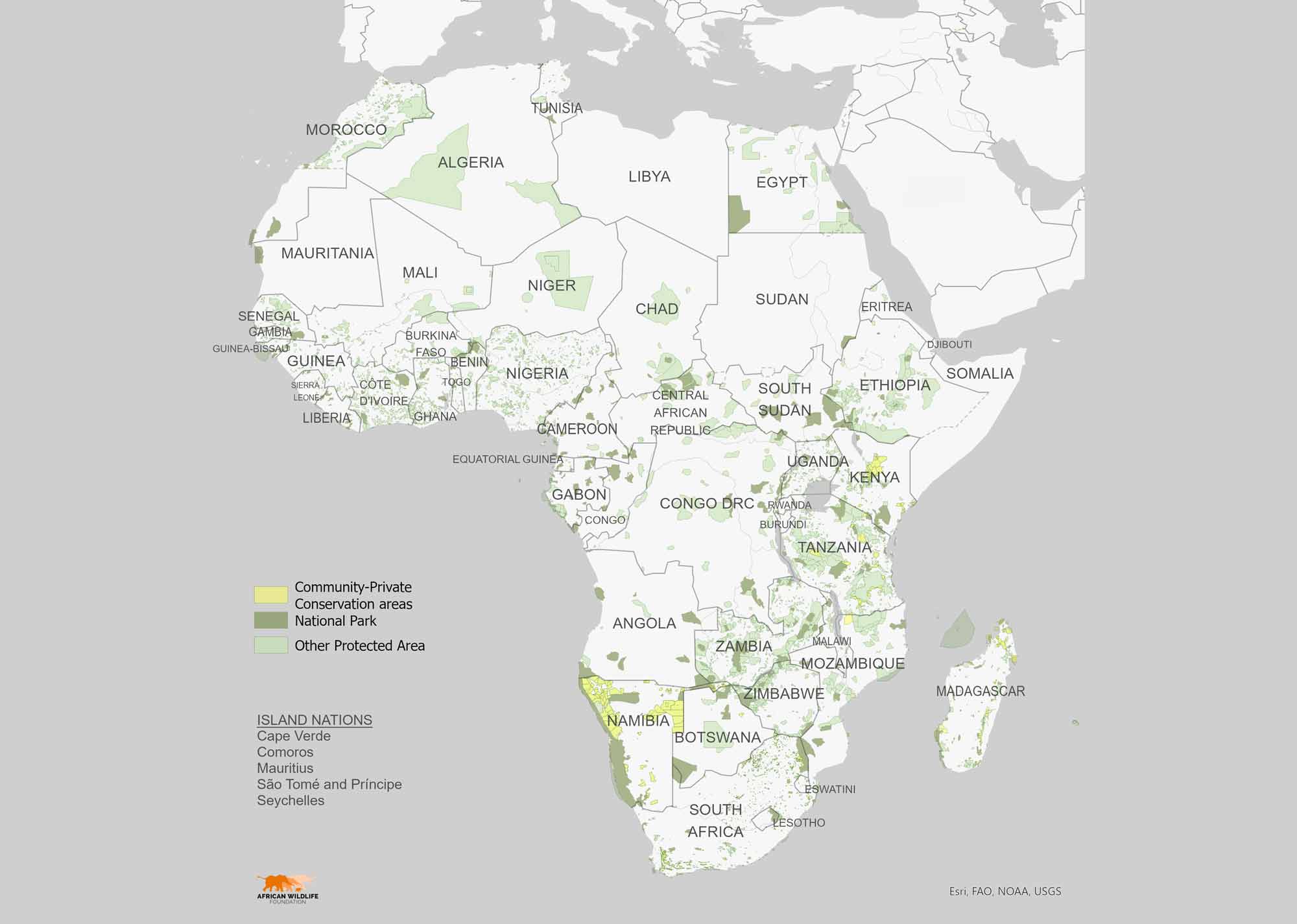
Map of African Protected Areas
Whether it's a park ranger planning patrol routes, a government official designing infrastructure, or a farmer determining where to locate crops, human decisions play a crucial role in shaping Africa's natural systems. All of these decisions benefit from a bird’s-eye perspective—specifically, the perspective offered by geographic information systems (GIS) that capture, store, analyze, and display information based on location.
David Williams, AWF's Senior Director of Conservation Geography, explains how geospatial data (the data used in GIS) offers valuable insights into the relationship between human activities and the environment and how it is transforming conservation efforts across the continent.
Q: Why is geospatial data critical for addressing the urgent conservation challenges that Africa is currently facing?
David: We're experiencing a data explosion, with 90% of the world's data created in just the last two years. Much of this data has a spatial component, meaning it's tied to specific locations. AWF's Conservation Geography team is harnessing this information to benefit both AWF and the broader conservation community. In Africa, rapid development presents opportunities and challenges. While nine of the 20 fastest-growing economies in 2024 are in Africa, much of this growth is poorly planned, threatening crucial ecosystems. We're seeing alarming rates of land degradation, deforestation, and desertification across the continent. Spatial data helps us understand these trends and advise decision-makers on how to adjust to minimize the negative impact of these pressures.
Q: Could you provide specific examples of how AWF has utilized geospatial tools in its conservation efforts?
David: One notable example of how AWF uses geospatial tools is the Degradation Dashboard, which we developed and which has been instrumental in monitoring deforestation, particularly in the Congo Basin. For example, in Cameroon's Dja Faunal Reserve, the dashboard flagged significant road expansion in the western buffer zone near the Reserve, prompting a UNESCO-supported action plan to engage the local community and curb further development.
The Degradation Dashboard has also been effective in monitoring forest integrity. Forest integrity refers to how closely a forest's natural state—its structure, makeup, and ecological processes—remains unaffected by human activities. For instance, it confirmed that the conservation priority 'Core Area' of the Democratic Republic of Congo’s Bili-Uele landscape has remained free from degradation since 2022. This critical landscape, stretching over 40,000 square kilometers, provides a sanctuary for the world's largest population of endangered eastern chimpanzees and one of the DRC's last remaining populations of vulnerable forest elephants. AWF's commitment to knowledge-sharing is evident in its adaptation of the Degradation Dashboard for use within the African Civil Society Biodiversity Alliance. Five organizations within this pan-African network of civil society organizations dedicated to biodiversity and sustainable development now use this tool to support their monitoring and management efforts.
Q: How does AWF map security challenges that can undermine conservation efforts in its operational areas?
David: Insecurity in our landscapes can jeopardize conservation progress. To proactively monitor threats to staff and partners, we developed the Risk Management Dashboard (RMD). This tool provides near-real-time insights into incidents of violence or conflict, enabling informed decisions regarding safety protocols. In the DRC's Bili-Uele landscape, historically affected by rebel groups like the Lord's Resistance Army and Janjaweed, AWF has supported the protected area authority in expanding its reach and capacity, including through intelligence-gathering and capacity development. The RMD has been crucial in tracking the security situation. Data from the dashboard indicates a significant decline in Armed Conflict Location & Event Data Project (ACLED) incidents from 2020 to 2023, a trend continuing in 2024.
ACLED tracks specific events of political violence and protests globally, collecting information like date, location, actors involved, event type, and fatalities. The decrease in ACLED incidents suggests that efforts to improve governance and security in the region are showing positive results, with the dashboard providing independent validation of these efforts.
Q: Could you elaborate on AWF's collaboration with Esri and its impact on conservation efforts in Africa?
David: We are partnering with Esri, a global leader in spatial technology, to empower AWF and our partners with cutting-edge tools and expertise. Our joint goals are to enhance decision-making, measure program performance, and enable adaptive management strategies in conservation. The Esri-AWF partnership has generated innovative, accessible tools to facilitate evidence-based decision-making by non-technical users. Many of these tools involve user-friendly business intelligence interfaces and dashboards designed for broad audiences.
In addition, working closely with Esri, AWF aims to expand the use of TRACTS Sites by supporting the Africa Protected Area Directors. This network represents over 8,600 protected and conserved areas across the continent. TRACTS Sites is a tool that integrates near real-time data streams from field and remote sources to enhance managers’ situational awareness of wildlife, ecosystems, and threats. This effort aims to leverage data-driven insights for more effective conservation and management of Africa's rich biodiversity. After a successful pilot program in Ethiopia, we adapted the tool for a Kenyan company dedicated to land restoration and reforestation efforts.
Q: What are some future directions for AWF in this space?
David: We're expanding the reach of tools like TRACTS Sites, which provide real-time data to protected area managers, and we're continuously exploring new ways to leverage emerging technologies. With a 138% increase in the use of our tools by AWF and partners over the past year, it's clear this approach is gaining traction. We're excited about the potential to drive even more positive change for both people and wildlife in Africa.